Consulting 09 Topography
Dronetec Consults
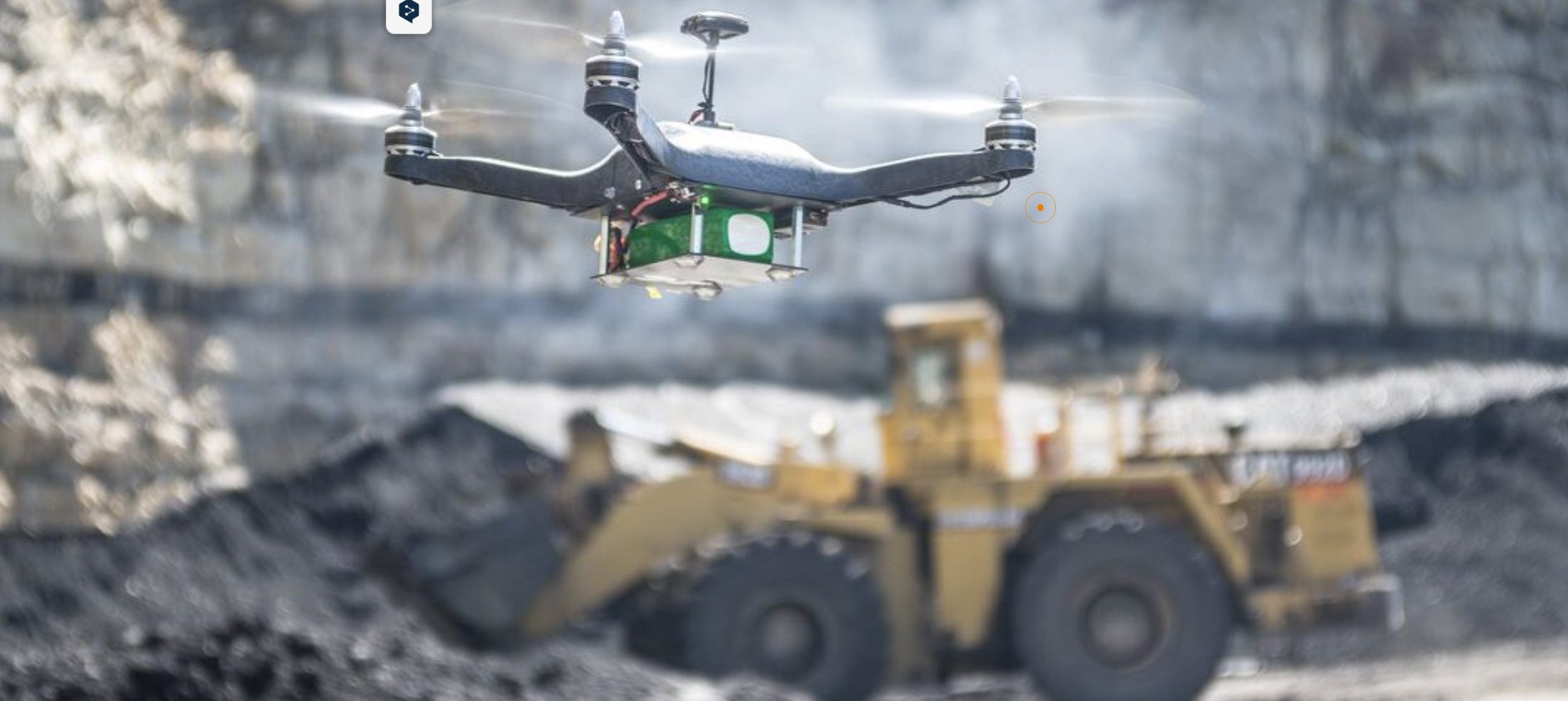
Dronetec Consults Limited is a Ghana-based geospatial intelligence and technology company providing decision-support systems for mining, construction, and agricultural operations across Ghana and Africa.
We specialize in transforming spatial data into actionable intelligence that supports planning, compliance, risk management, productivity, and long-term asset performance. Our work integrates drone systems, LiDAR, photogrammetry, GIS, and structured reporting workflows to deliver reliable, repeatable, and auditable outputs for land-based industries.
Dronetec Consults was founded to bridge the gap between advanced geospatial technology and real-world operational decision-making. We do not operate as a flight-only drone company; we operate as a systems partner, supporting clients throughout the full lifecycle of their projects.